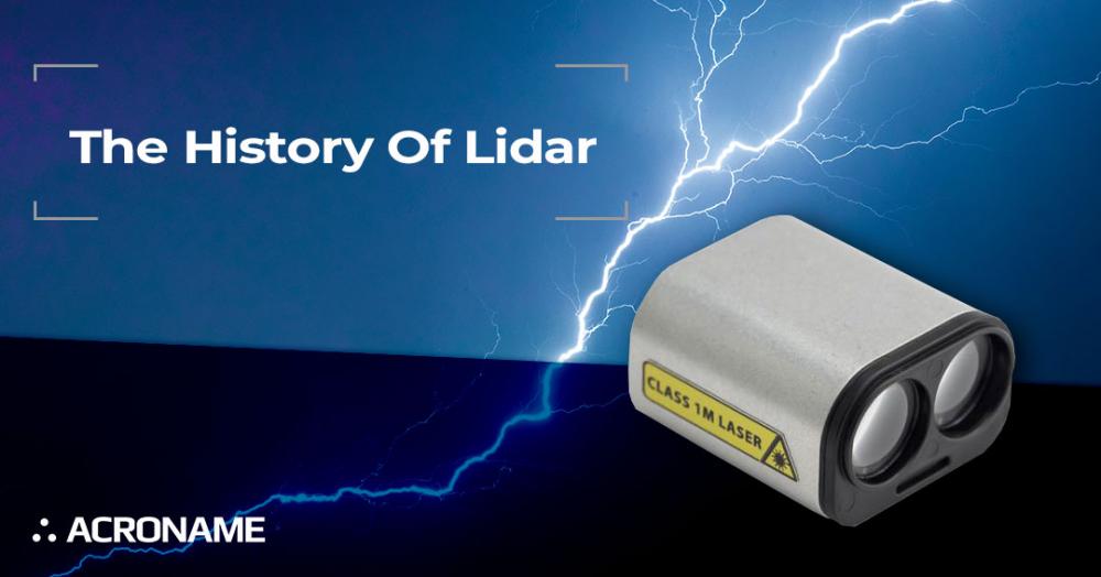
UNDERSTANDING LIDAR
Humans are arguably the most dominant creatures on Earth in no small part due to our amazing senses. In particular, sight and our visual perception ability are key to our understanding of the world around us. And for centuries, humans have been inventing tools to help them see more of the world around them. Beyond simply seeing the world, we have pushed to add precision to our sight by making systems to measure distances and ranges to the objects around us.
We have harnessed the power of sound waves to create sonic navigation ranging (SONAR) and sonic detection and ranging (SODAR). As our understanding and electronic control of electromagnetic waves progressed, we found that principles similar to sonar could be used with radio waves to create radio detection and ranging (RADAR) systems. These systems can be thought of transforming the acoustic and radio space into a visual space for humans to perceive. The next logical step in this progression is using light from lasers for detection and ranging, i.e.: LIDAR.
The word LIDAR is technically an acronym. However, just like its predecessors sonar and radar, LIDAR has become so common that it is often simply written as a word “lidar”. While LIDAR was invented soon after the first lasers in the 1960s, its common use in aerospace didn’t appear until the 1970s, most notably on Apollo 15 retroreflectors. Commercial and consumer application didn’t become common until the late 1980s.
In 2006, Acroname helped introduce low-cost 2-dimensional (2D) LIDAR scanners to US research labs and universities through its close partnership with Hokuyo in Japan. At the time of its introduction, Hokuyo’s unique spinning-mirror approach to creating a 2D scanning LIDAR created a high-speed, long-range, and low-cost option for robotic research. Hokuyo’s low-cost 2-D LIDARs are credited with enabling significant advances in simultaneous location and mapping algorithms, which are critical in today’s self-driving cars.
Acroname offers 1D LIDAR-based laser rangefinders, 2D LIDAR scanners, sonar and radar sensors, and 3D time-of-flight cameras,. We help engineers in the automation, control systems, and robotics markets by providing products and expertise to help make their lives easier and their solutions better. We carry some of the best LIDAR brands, including Hokuyo, LightWare, and YDLIDAR. Below, we’ll go over in brief the history of LIDAR and how it has changed our world for the better.
HISTORY OF LIDAR
A lot of inventions come to fruition due to our need to solve a problem. After Orville and Wilbur Wright demonstrated that flight was possible, many wanted to fly. As flight became more and more successful, you could fly longer, higher, and faster. This was all good and well; however, a problem arose almost immediately: how to land. Landing (safely) requires you knowing how far away from the ground you are. During landing approach, knowing your relative distance to the ground is critical. So how do you gauge that distance in conditions where human eyesight will not work, especially in inclement weather conditions, such as snow, or at night?
Today’s LIDAR sensors use a laser beam to determine the distance to an object. The beam of light hits an object and then travels back to the sensor. A microcomputer inside the LIDAR sensor measures the time it takes for this light to return to the sensor. Since the sensor also knows that the speed of light is fixed, the sensor can now calculate and provide the distance to that object. LIDAR sensors perform these measurements and calculations anywhere between 10 and 1000 times per second.
In our example of the plane landing in the dark, if the LIDAR sensor is installed in the plane and pointed at the ground, the sensor will report exactly how far away the ground is, providing critical information that the pilot needs in order to land safely.
EARLY ATTEMPTS AT LIDAR TECHNOLOGY
LIDAR is closely related to RADAR (Radio Detection and Ranging). RADAR was first successful in 1904 when Christian Huelsmeyer used an antenna, a receiver, and a transmitter to detect objects at sea so ships could avoid colliding with them. Early RADAR had a maximum detection distance of 3000m. The initial concept was to issue a pulse of radio waves towards an object, then measuring the signal strength reflected back. This was further improved by taking into account the height of the transmitting antenna and the elevation of the detected object to determine the distance of the object from the transmitter. RADARs use a narrow pulse of radio waves to measure the distance it takes to travel once it hits an object.
LIDAR uses light in the same way. The idea to use light and measure how long it took the light to return in order to find distance originated with a man named EH Synge, who in 1930 used searchlights to study the atmosphere. In keeping with the atmosphere, light pulses were used in 1938 to measure the heights of clouds. The advantage to using laser light is that it has a short wavelength, making it possible for much smaller objects to be detected or measured. This is why LIDAR is so popular with meteorologists: because it can measure cloud particles and rain. Furthermore, laser light is very narrow, making it possible to see the smallest details with high resolution at relatively long distances.
Technology development and advancements in LIDAR continued as both the federal government saw huge defense applications, such as for targeting, and scientists could now study the atmosphere in-depth, such as determining the amount of pollution in the air. Land mapping became a possibility, as NASA invested in LIDAR for mapping Mars, Mercury, and the moon on these various exploratory trips. Geology, forest science, and oceanographers jumped on board and even construction and architecture industries could see LIDAR’s uses.
In 1960, aerospace applications began to become a mainstream application for LIDAR. LIDAR was used in the 1970s by NASA, who used this laser-based remote sensing technology in its development of exploratory spacecraft. Applications for LIDAR continued to expand into gauging the properties of ocean water and the atmosphere for topographic mapping purposes. Ice sheets and the canopies of forests were also explored with LIDAR technology.
Still, it wasn’t until GPS (Global Positioning System) became available for public use and, coupled with inertial measurement units (IMUs) in the late 1980s, that LIDAR became a viable and extremely accurate tool for scientists. By the mid-1990s, LIDAR scanners were capable of producing 2,000 to 25,000 pulses per second and were mainly being used for topographic mapping of the earth’s surface. This technology, although primitive to what is available today, helped governments plan roads and surveyors and construction companies plan the best places to put buildings, especially in uneven terrain.
LIDAR TODAY
LIDAR technology has advanced to the point where we can now see objects as we’ve never seen before. From hazard assessment, such as lava flows, landslides, tsunamis, and floods, to watershed and river surveys, LIDAR has many beneficial uses. City planning, people and vehicle counting and climate monitoring are easier, and meteorology and mining are more innovative and environmentally-friendly.
Below, we’ll take a look at some popular manufacturers of LIDAR technology, including Hokuyo, LightWare, and YDLIDAR — all of which use the same base technology in implementations but are optimized for different applications. Acroname is proud to offer products from all three of these brands, and we’re more than happy to point you in the right direction when it comes to helping you choose the right sensor model for your needs. Contact us today to get started!
Hokuyo
Hokuyo scanning LIDAR sensors use a single point distance sensor to sweep across an arc, taking distance data points across the arc of travel. This continuously time-stamped point stream of distance points across the arc of interest creates a very accurate 2D point-plane map data set.
Hokuyo has integrated the sensor and all sweep mechanics into a compact enclosure which typically requires an Ethernet interface to a host computer due to high sample rate and bandwidth required to process the 2D point plane data. Because of the mechanical systems required for scanning, Hokuyo sensors typically require higher operating voltages and more power than 1D sensors.
Hokuyo scanning LIDAR sensors provide real-time information that is typically used in precision mapping, population or traffic monitoring and safely/object avoidance applications in distances up to 30m. Robust enclosure design by the Hokuyo team means that many of these scanning LIDAR sensors can be used in either indoor or outdoor environments. As such, Hokuyo sensors are frequently implemented in mapping drones, as safety sensors for mobile or industrial robots and as object detection sensors for driverless vehicles.
LightWare
LightWare manufactures some of the most compact, light-weight 1D and 2D rangefinder sensors available today. Their 1D sensors fall under the typical principles of LIDAR, where a laser emitter and sensor are integrated in to the sensor body. The sensor will report the distance to any object that falls into the direct line of sight of the sensor.
LightWare sensors report distance in a continuous data stream or single reading modes. They are usually powered by just 5V and communicate their distance data over a USB, UART or I2C connection. Coupled with their light-weight mechanical design (as light at 20g), these sensors are ideal in drone or weight-sensitive mobile robot applications.
LightWare rangefinders are very popular with drone manufacturers, who mount them on drones and point them at the ground - for use as altimeters, to help map terrain or for use with auto-landing systems.. LightWare sensors are used by photographers to help adjust their camera’s focal settings or even by golfers or hunters to get an accurate range to the target. They can also be used to help locate our count people or objects moving through an area. Depending on the model of sensor, LightWare offers these sensors in super-lightweight OEM versions for indoor applications or in their own IP67 enclosure for outdoor environment applications.
YDLIDAR
YDLIDAR is bringing 2D LIDAR sensor technology to new levels of affordability and size. Built for the hobbyist who needs a scanning LIDAR rangefinder, YDLIDAR sensors use a 1D LIDAR mounted to a quiet, reliable motor - then spin the sensor at up to 420rpm to provide a 360-degree point cloud of distance data.
YDLIDAR offers several 2D sensor models, encompassing a relatively wide range of cost/features. These sensors connect quickly and easily to a USB port (or two) on a host PC or embedded system. YDLIDAR offers an easy-to-use GUI application so you will be up and running in minutes.
Since they do not come in IP-rated or protected enclosures, YDLIDAR sensors are typically used in home and indoor applications like motion or proximity detection - or as obstacle detection sensors in automated mobile robots.
WHY ACRONAME FOR YOUR LIDAR NEEDS
Acroname has decades of expertise in robotics systems, robotics components and embedded system design. We know the sensors, the systems, the pitfalls. We carry the sensors that we would (and do) use in any of our own designs. And we love working with and providing tools to help engineers, because we are in the trenches with you.
The Acroname team has thoughtfully curated LIDAR sensor offerings from world-class, leading manufacturers - to give you the feature, size and price choices you need for your product or project. Give us a call. Send us an email. Visit our store. Find out why customers from drone and robot manufacturers to city planners and university engineering teams and researchers trust Acroname when it comes to LIDAR.
If you are interested in learning more about LIDAR or in purchasing one of our LIDAR rangefinders, contact us at any time. Acroname’s engineering and support team can help you select the right sensor model for your application. In addition, you will find our website also offers plenty of tools to help you develop your product, as well as test tools to help you quickly ramp up your production when you are ready for that phase.
Add New Comment